


 at right. ]")


Mapping Brooklyn’s Visual History
Have you noticed that online, maps have suddenly become trendy? Whether I am researching restaurant reviews or looking up friends’ photographs, everything seems to be tied into a map. The same is true for digital collections.
With the increasing volume of digital objects that cultural institutions (like the Brooklyn Museum) are putting on the web, it only makes sense that we cull them together in such a way that it makes sense. A map is a perfect way to organize and tie together much of this data.
As part of Project CHART at the Brooklyn Museum, we have been working for two years to digitize objects that relate to historic Brooklyn. We have been making digital images of everything from lantern slides to postcards to photographs to advertising trade cards. All of these items come with a geographic location. Many depict the same areas of Brooklyn over different time periods and through different visual objects. To tie them all together, we decided to experiment with mapping them to their locations.
Due to the amount of objects in the collections, we first focused on one area of Brooklyn: Fulton Street.
In mapping all of these objects to a Google Map, a viewer can now browse the collection of images associated with Fulton Street, Brooklyn. By clicking on the map markers, information about each object, a thumbnail image, and a link to the full record will all pop up in order to enable further exploration.
Here are a few of our favorite images from this particular geographic collection:
.jpg)
Ferry House at the foot of Fulton Street, 1746.
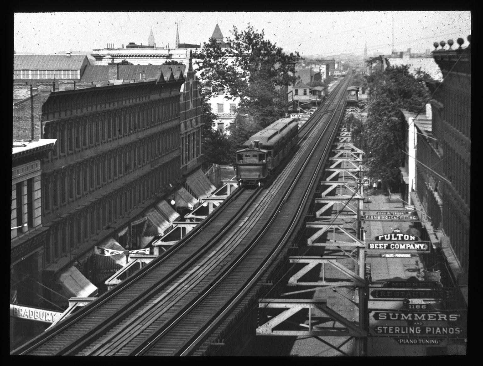
View 018: Railways, elevated, Fulton St. Railroad above Bedford.
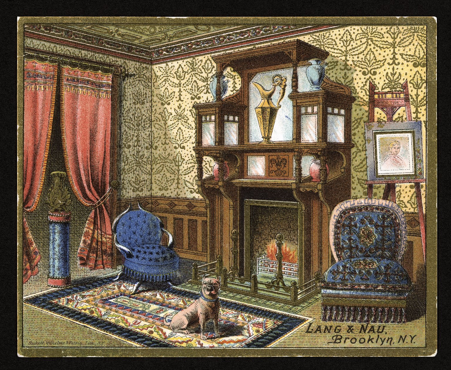
Trade Card, 1882. Lang and Nau. 292 and 294 Fulton Street. Brooklyn. Recto.
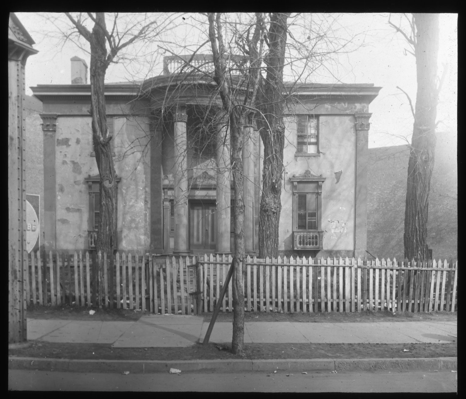
Views: Brooklyn. Various. View 014: Old Lefferts Mansion - destroyed.
What do you think? Should we continue mapping our digital collection of historic Brooklyn?
By Jennifer Ruocco - Brooklyn Museum intern